








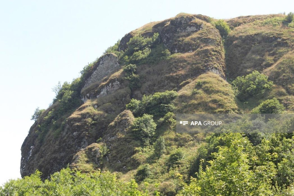


Archaeological exploration work has begun at Shindan Castle, one of the important historical and archaeological monuments of the southern region, APA's southern bureau reports.
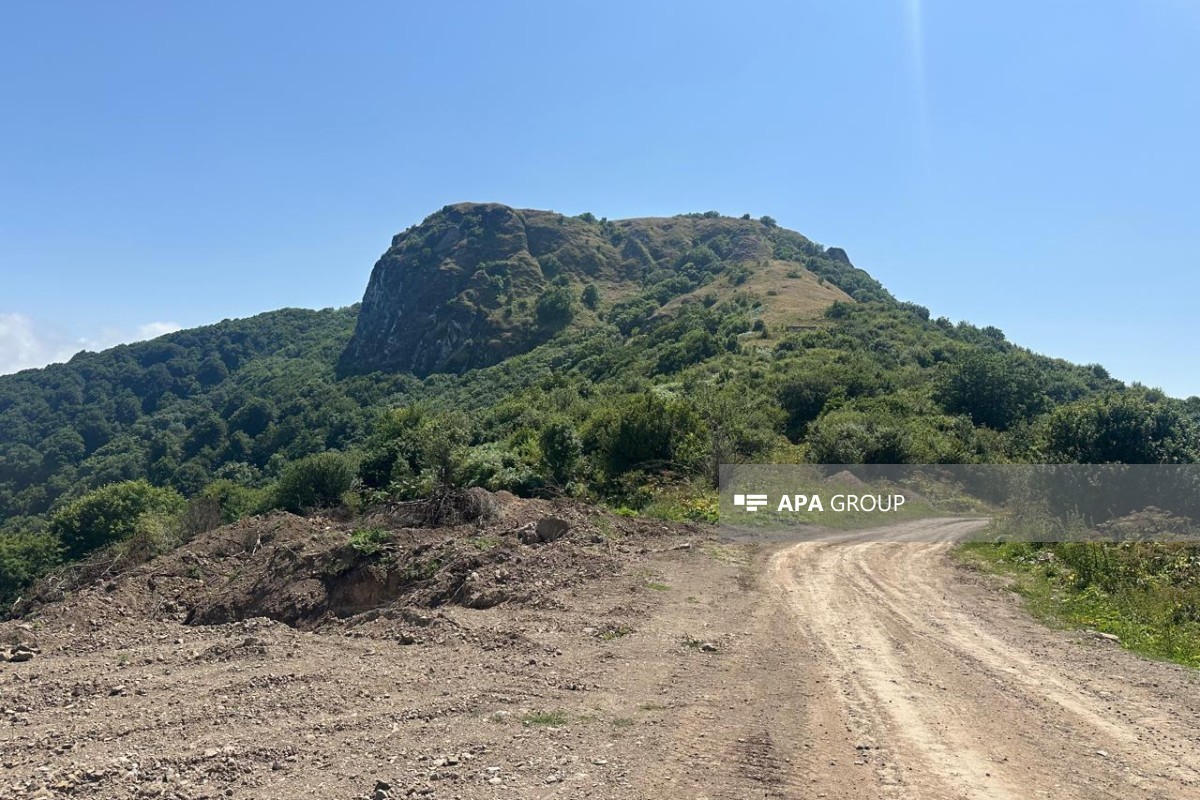
Located approximately 6-7 km southwest of Sym village in Astara district, on one of the high peaks of the Talysh Mountains near the Iranian border, Shindan Castle is one of the important historical and archaeological monuments of the region.
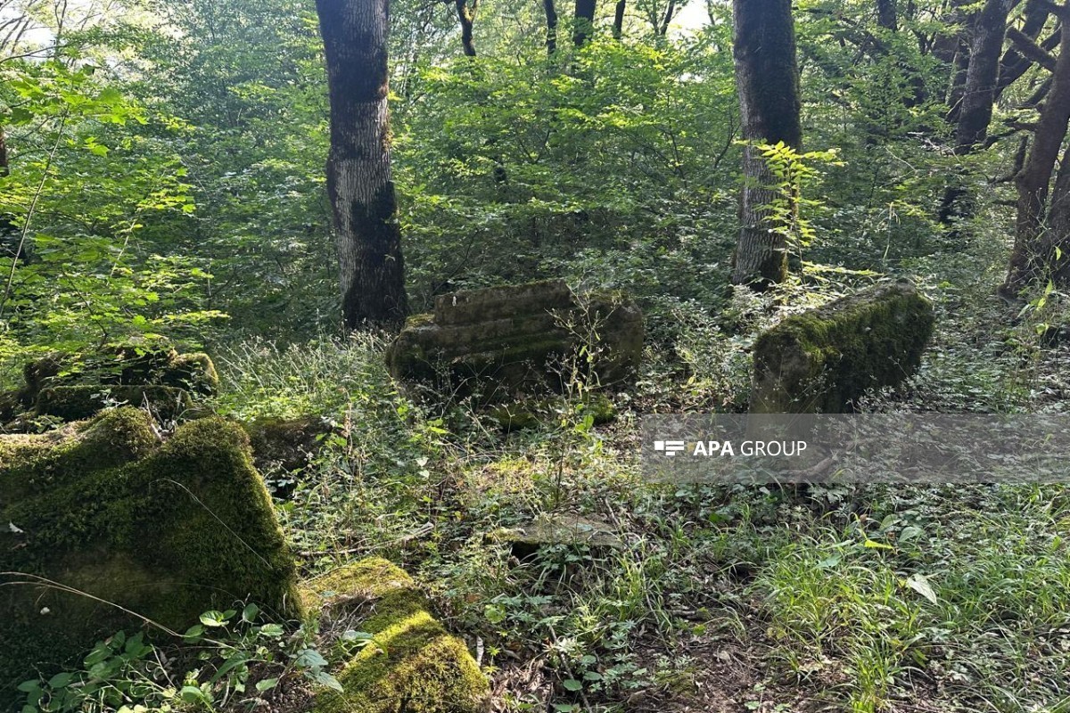
Although above-ground monumental fortress walls were not clearly recorded as a result of visual observations, new archaeological traces were discovered in the area.
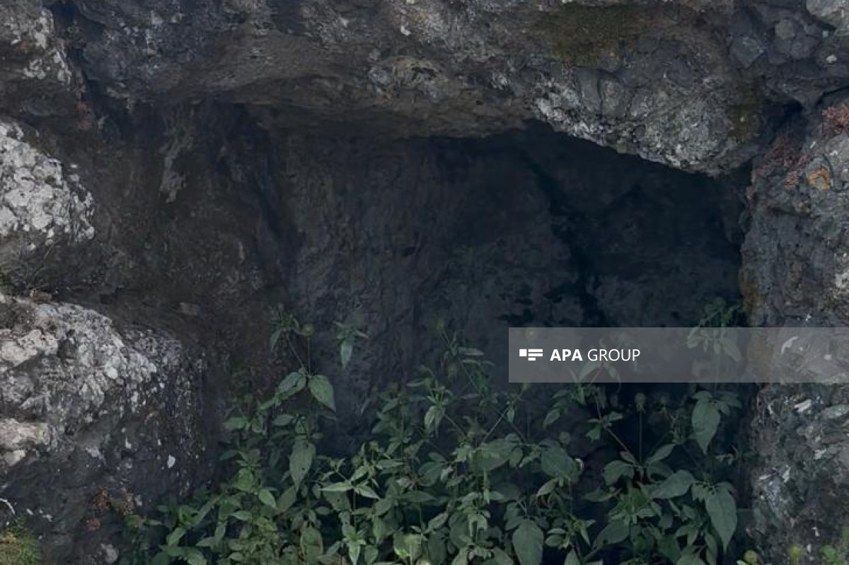
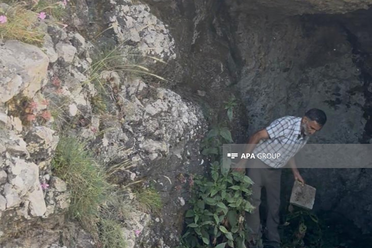
Thus, a natural rock cave (shelter) approximately 10 meters long was recorded on the territory of Shindan Castle. During observation of the area, it was established that the upper and side parts of the shelter consist of natural rock formations, no regular masonry characteristic of a rock wall is visible on the interior surface, and the entrance appears to have been formed as a result of natural rock erosion.
At the same time, remains of a wall made of fired red bricks measuring approximately 22 × 22 cm, as well as ceramic fragments, were observed inside the shelter, in an area close to the base of the rock.
Although the functional purpose of the structure has not yet been precisely determined, it is assumed that it may have been used as a storage area. The ceramic materials recorded in the area are preliminarily associated with the medieval period, but additional typological and laboratory studies are needed to determine their exact chronological attribution.
Shindan Castle is already described as an abandoned architectural site. The castle is reported to be located at an altitude of approximately 7,000 feet, on an isolated and rocky peak, with its lower section surrounded by a strong stone wall with towers, although it had already fallen into ruin by that period.
Further up, a second stone wall, the ruins of various structures, and, at the highest point, a flat stone platform, a cistern (water reservoir), and an elongated structure are described.
The fact that the defensive walls were already recorded as being in a ruined state in the 1833 description clearly explains why, 193 years later, monumental above-ground remains are not clearly visible and indicates that the monument has been subjected to a long-term process of natural erosion and deterioration.
Along with written sources, the name and geographical location of the monument also make it possible to draw certain conclusions about its historical function.


 Follow us on Telegram
 t.me/apanewsaz
 Follow us on Instagram
 Follow us on TikTok
 Follow us on Facebook
 Follow us on X