

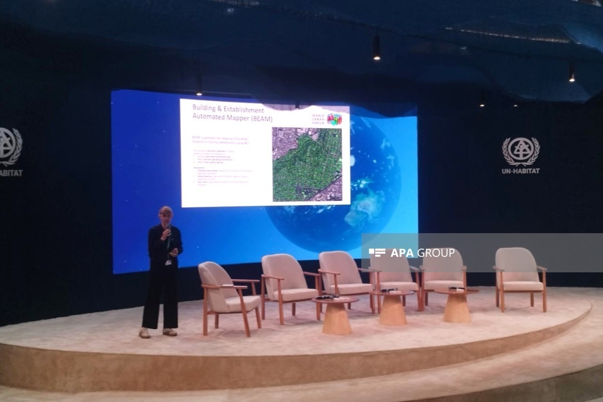
Construction levels in certain areas are being studied in order to understand how informal settlements grow and to understand the dynamics of informal settlements, Sophie Naue, representative of the UNITAC programme, said during the event titled “Transforming Informal Settlements: Data, Standards and Practice — UN-Habitat Arena” held within the framework of WUF13, APA reports.
“We mainly developed a tool to rapidly create shapefiles of building footprints in various informal settlement contexts,” Sophie Naue noted.
According to her, in order to obtain detailed information about informal settlements, high-resolution, non-publicly available images taken from the air or satellites are used.