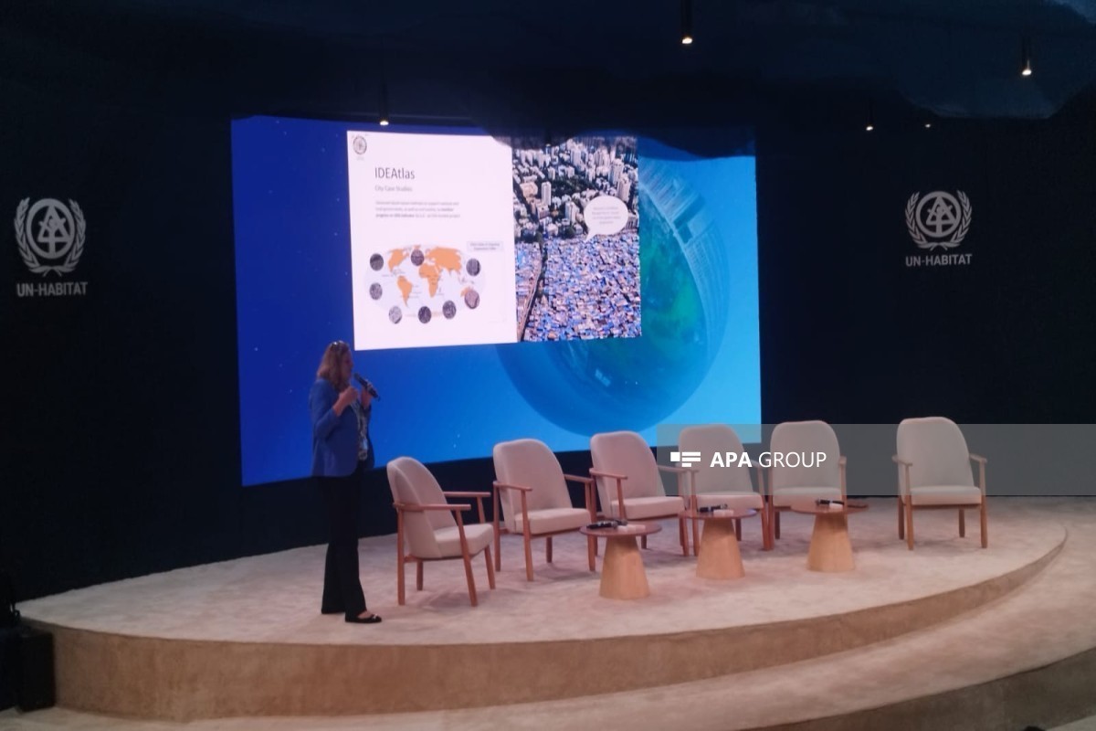


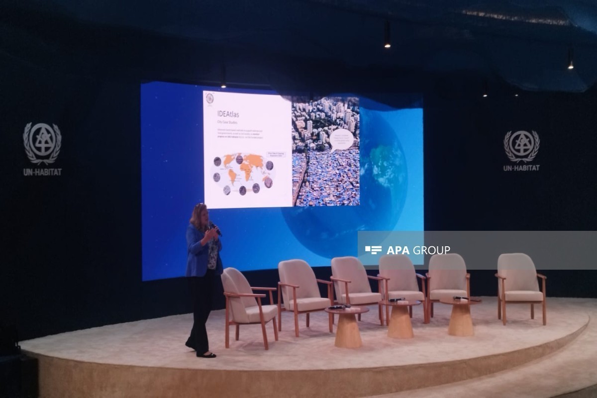
“One of the key issues in mapping is the location of settlements and their dynamics, University of Twente professor Monika Kuffer said during the event titled “Transforming Informal Settlements: Data, Standards and Practice — UN-Habitat Arena” held within the framework of WUF13, APA reports.
“We map not only the location and dynamics of settlements, but also their diversity and the severity of their problems. In other words, we also analyze the different conditions existing in the area,” Monika Kuffer emphasized.
According to her, settlements in rapidly urbanizing areas expand very quickly, which creates the need for operationally updated data. Work is being carried out in two main directions for this purpose:
“First, we have developed a lightweight artificial intelligence model that can work with medium-sized image data and does not require high computing resources. Second, we have created a user portal. Through this portal, we present the model’s results to users, and they (local users - ed.) can provide feedback on the results — for example, by indicating ‘this is correct’ or ‘this is incorrect’.”