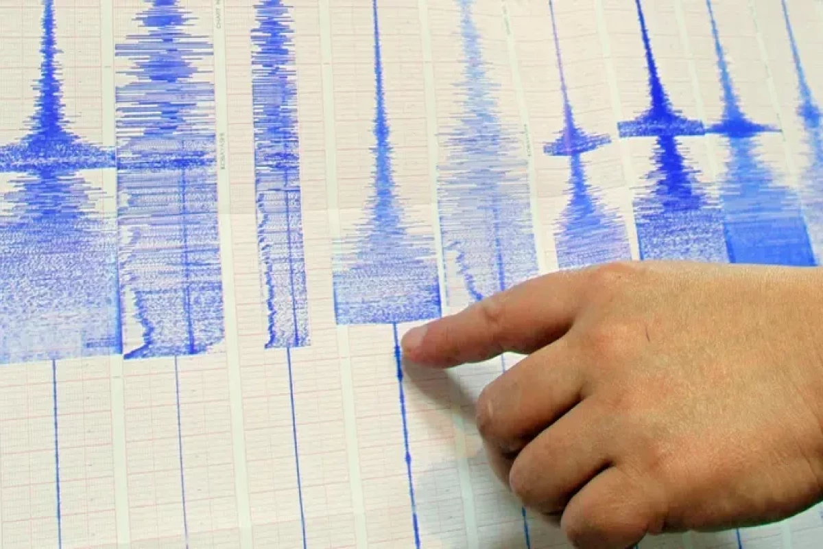


The Republican Seismic Service Center of Azerbaijan National Academy of Sciences (ANAS) has released information on the consequences of a 6-magnitude earthquake that occurred in the country’s Aghdam district on Nov. 15.
According to the information, a survey was conducted in the epicentral zone and adjacent areas for the purpose of macroseismic study of the earthquake in Aghdam, under the supervision of Etibar Garavaliyev, head of the macroseismic study department of the Republican Seismic Service Center.
The survey revealed that the tremors were felt up to magnitude 6 in the epicenter (12-magnitude MSK-64 scale).
The epicenter of the earthquake was located 5 km north-west of Guzanli village of Aghdam district. The late Pleistocene lies at 24 x 28 km. The earthquake occurred at a depth of 25 km.
The earthquake was the strongest in the administrative districts of Aghdam, Barda, and Terter—specifically, in the villages of Guzanli, Poladli, Uchoglan Khindiristan, Chamanli, Husanli, Kocharli, Khanarab, Gazyan, Gaynag Evoglu, Ilkhichilar, Khasili, Ketalparaq, Garavalli, and Khanagala.
Despite the misleading information given by locals, the Republican Seismic Survey Center’s experts drew the conclusion that the cracks on the walls of houses had been either caused or made worse by previous earthquakes, as well as by the April operations of last year.
No cracks were detected in the seismic stations in Aghdam and Barda.