


Baku. Rashad Suleymanov - APA-Economics. Azerbaijan’s State Committee for Land and Cartography has developed an orthopictomap of a 2 sq. km area including Baku and Absheron Peninsula (scale 1:1000).
Garib Mammadov, Chairman of the Committee, said orthopictomaps of Baku and Absheron Peninsula (scale 1:1000), towns and district centers (scale 1:1000), villages, agricultural and other areas (scale 1:5000), and front-line, border, mountainous areas (scale 1:10000) had been planned for preparation.
According to him, aerial survey work is 70% complete.
Besides, an orthopictomap of 8 000 sq. km (the northern border of Azerbaijan, the Greater Caucasus Mountain Range) on the basis of satellite imagery at a scale of 1:10000 has also been developed. It is also planned to draw cadastre maps on he basis of orthopictomaps.
The development of orthopictomaps is part of the World Bank-financed Real Estate Registration Project. The $38 million project is scheduled for completion in 2012.
Azerbaijan prepares Baku and Absheron Peninsula orthopictomap

Infrastructure

Azerbaijan Railways showcases Azerbaijan’s transit and logistics potential at Transport Logistic China 2026

AZAL’s first Airbus A321neo delivered in Hamburg - PHOTO
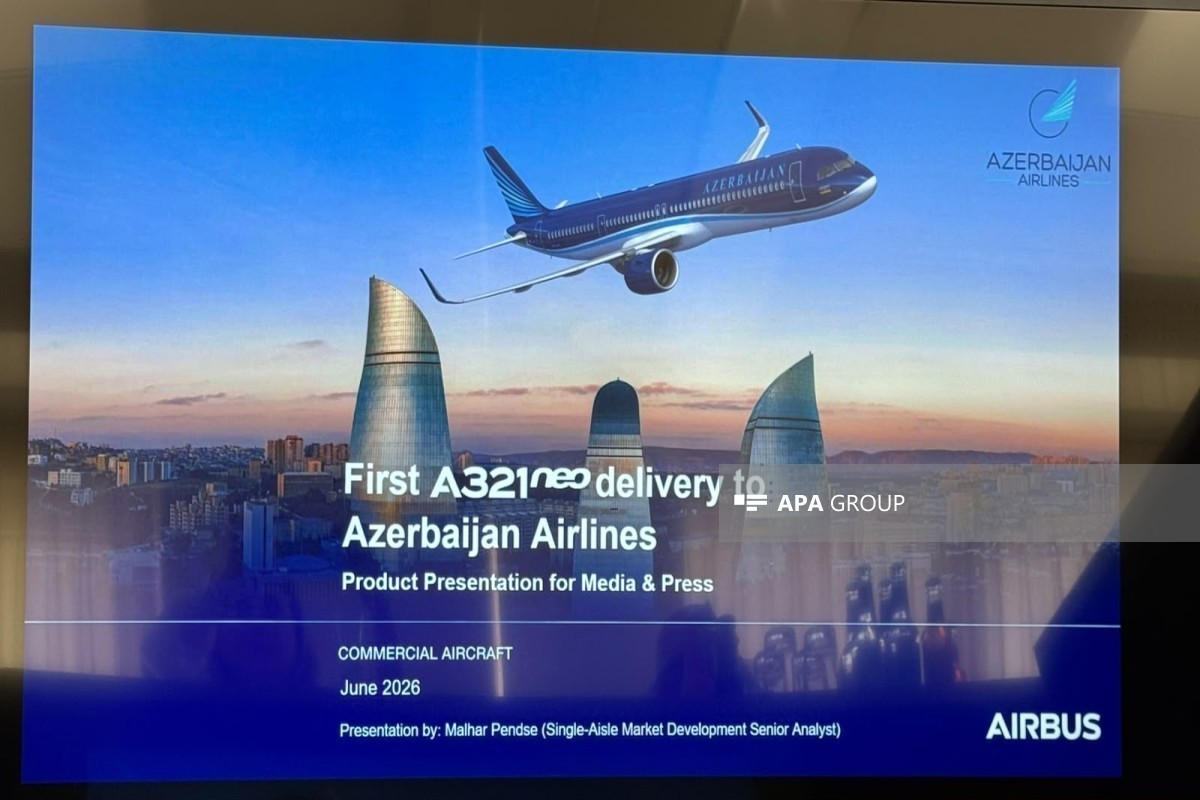
AZAL: New Airbus A321neo can be safely operated on any route - VIDEO

Media representatives visit Airbus production facility in Hamburg - PHOTO
NEWS FEED
Today marks Ashura in Azerbaijan
Lent.az marks its 18th anniversary
Trump says Iran making 'very big' concessions
Rubio: Upcoming technical talks with Iran will be at expert level, start June 30
Zelenskyy says drone signal repeaters in Belarus have been switched off
US Treasury Department has removed seven individuals and two vessels from sanctions lists against Russia
Araghchi discusses US talks with Saudi foreign minister
Ghalibaf: Azerbaijan-Iran relations have seen greater development over the past year
Sahiba Gafarova meets Speaker of Iran's Parliament
Meeting held with delegation from Pakistan National Defense University
Ships start sailing through Hormuz under UN evacuation scheme, agency says
Iraqi President congratulates Azerbaijani leader on Independence Day
Speakers of Azerbaijani and Turkish parliaments meet, stress importance of Azerbaijan-Türkiye strategic alliance - UPDATED
Ebola outbreak is still outpacing response, WHO's Tedros says
Helicopter crashes in Russia's Krasnodar region
Exchange of accusations erupts between Iranian and Yemeni representatives
Azerbaijan’s Prime Minister meets with Speaker of Türkiye’s Grand National Assembly
Azerbaijani MFA: France continues to pursue outdated and one-sided political approaches
Ghalibaf: Iran learned who its friends and enemies were during the war, Azerbaijan stood by Iran
CENTCOM airstrike in Syria kills senior ISIS leader
Azerbaijan Railways showcases Azerbaijan’s transit and logistics potential at Transport Logistic China 2026
President Ilham Aliyev received delegation led by Speaker of Iran’s Islamic Consultative Assembly
Drone attempting to violate Azerbaijan’s border neutralized - PHOTO
Azerbaijan extradites internationally wanted individual to Kyrgyzstan
Iran-Gulf reconciliation talks expected to be held in Saudi Arabia, diplomat says
Jeyhun Bayramov travels to Poland to attend Ukraine Recovery Conference
Israel, Lebanon discussing pilot scheme for handover of territory
Ukraine returns sailors from ship detained by Iranian security forces
Erdoğan says one-on-one meeting with Trump likely at NATO Summit
Trump: Negotiations will end immediately if Iran charges ships passing through the Strait of Hormuz
Azerbaijan assumes chairmanship of the Parliamentary Union of OIC member states - UPDATED
AZAL’s first Airbus A321neo delivered in Hamburg - PHOTO
AZAL: New Airbus A321neo can be safely operated on any route - VIDEO
Iran says access to attacked nuclear sites depends on final US deal
Katz vows IDF won’t withdraw from south Lebanon ‘even if there’s an American demand’
Media representatives visit Airbus production facility in Hamburg - PHOTO
President Ilham Aliyev received delegation led by Speaker of Grand National Assembly of Türkiye
Azerbaijan's insurance market grows by nearly 2% this year
Erdoğan: Israel has been doing everything it can for 10 days to undermine a US-Iran agreement
Lavrov: Diplomatic solution to Ukraine crisis remains possible
France confirms first Ebola case in doctor returning from DR Congo mission
Tehran's Mehrabad Airport to close due to Ali Khamenei's funeral ceremonies
Ukraine hits two airfields and air defence systems in Crimea, including Pantsir-S1 units
Drones strike major Russian gas processing plant 1,500 km from Ukraine
Azercell and Samsung launch a new campaign
Presidential aide: Main goal in cotton farming by 2030 is to increase average yield to 50 centners per hectare
Peskov: Armenia is currently choosing its path of development
AZAL: Today's Baku-Nakhchivan-Baku flights cancelled
Central Bank of Azerbaijan preparing amendments to compulsory insurance regulations
Azerbaijan extends special quarantine regime until October 1, 2026