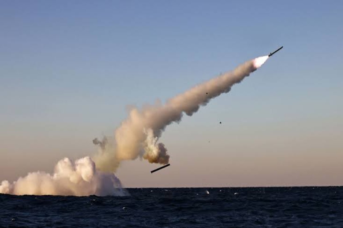









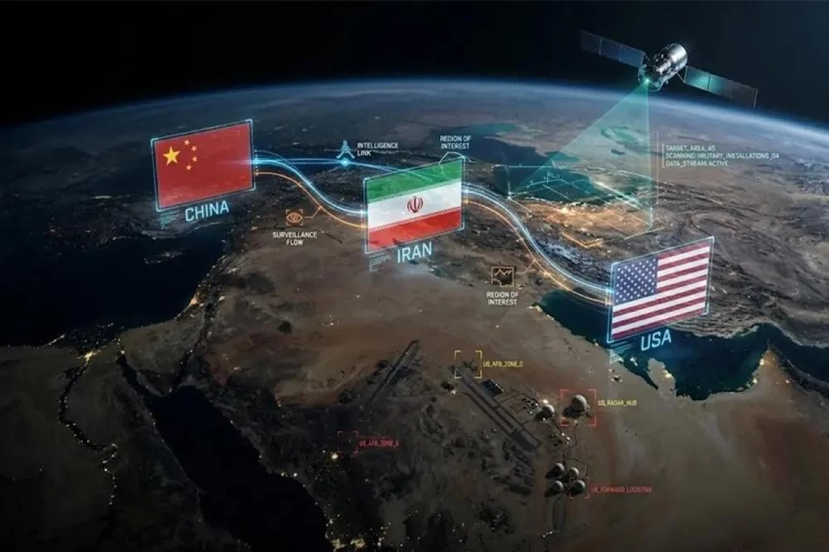


Satellite imagery and intelligence data provided to Iran by Chinese entities have helped Tehran carry out more precise strikes against US military facilities and ships in the region, CNN reports, citing recent US intelligence assessments.
According to sources who spoke to CNN, satellite imagery and other data provided by Chinese entities have helped significantly improve Iran’s targeting capabilities in recent months.
CNN reported that Chinese intelligence support also played a role in a July strike on a US military base in Jordan. Three US service members were killed in the attack.
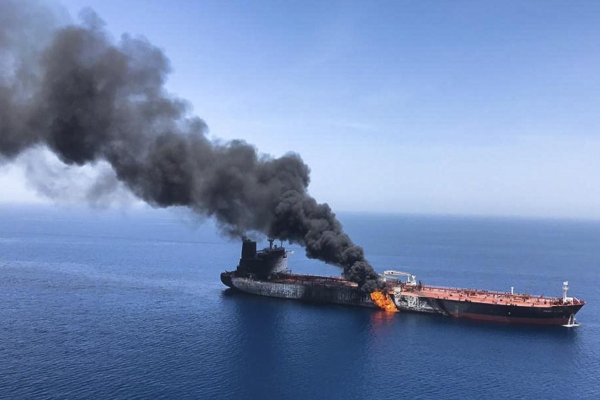
According to the report, Chinese satellite data is also helping Iran track US and other countries’ vessels in the Strait of Hormuz and identify them as potential targets.
Chinese geospatial data has enhanced Iran’s ability to track ships through the strait, increasing the chances that Iranian drones and missiles can successfully hit their targets. The data has also helped Iran time the launch of relatively unsophisticated heat-seeking drones that cannot be maneuvered in midair.
However, US intelligence has been unable to determine whether Chinese entities are carrying out this activity under direct instructions from Beijing or whether the Chinese government is merely allowing such support.
According to CNN, Chinese officials have previously rejected allegations that China provided Iran with satellite data for military purposes.


 Follow us on Telegram
 t.me/apanewsaz
 Follow us on Instagram
 Follow us on TikTok
 Follow us on Facebook
 Follow us on X