

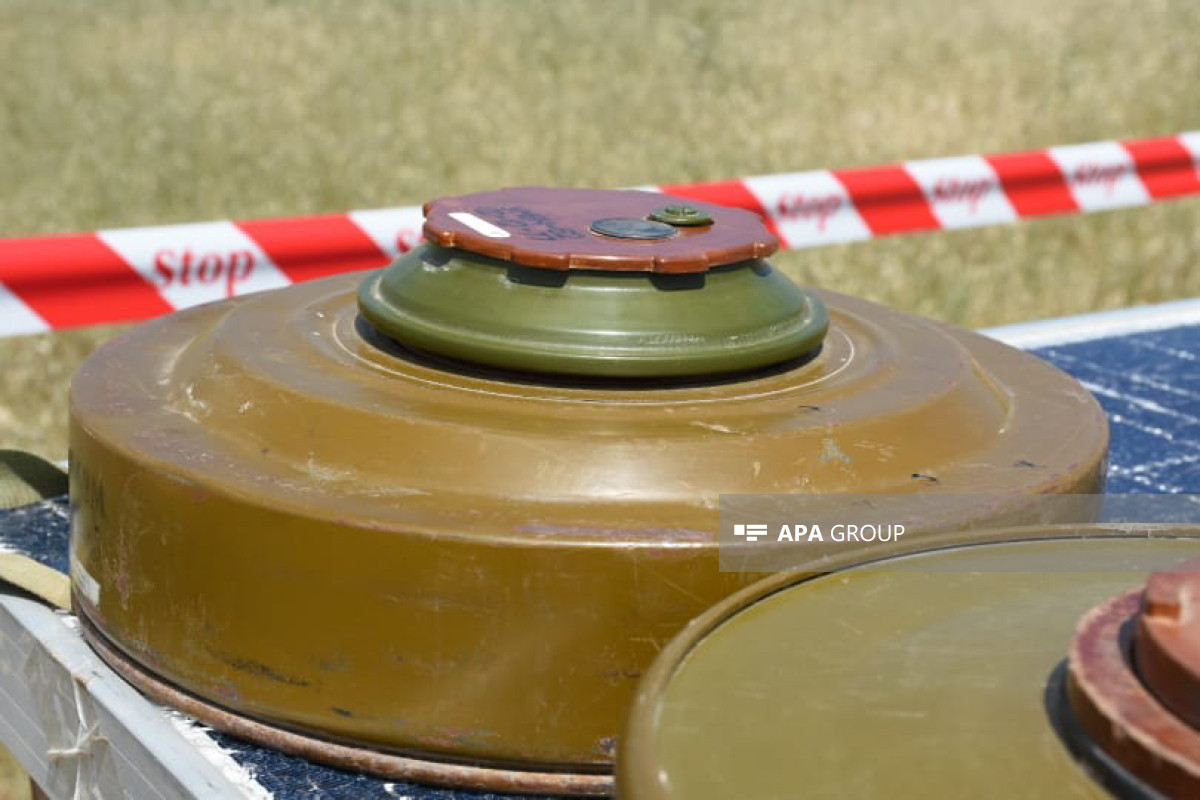
The Armenian side has presented the Azerbaijani side with 8 contours on the minefields in the liberated territories of the Republic of Azerbaijan, the Azerbaijan National Agency for Mine Action (ANAMA) told APA.
According to the information, the submitted outlines mainly consist of notes on the mine-planted areas covering the Murovdag ridge of Kalbajar district. By normative technical regulations, information on reference points, types of planted mines, numbers, distances between buried mines, methods of planting, and disguises should be recorded in the contours of minefields.
But, as it was before, the information in the recently submitted outlines has been reflected inaccurately, unreliable, and incompletely. After doing analysis and processing works on the contours, it was determined that the recorded data do not overlap with the real minefields, and the coordinates of the reference points are incorrect and useless.
In general, the contours on mined areas which were submitted by Armenian side cover part of the area along the former contact line. Information about the part of the former contact line passing through Khojavand, Tartar and Goranboy districts, as well as the areas mined by the Armenian military units during the time they retreated in November 2020, has not yet been provided.